
Understanding SPC Outlooks
hodo.graphics provides mobile-friendly maps of SPC (Storm Prediction Center) outlook products. This article explains what they are and how to interpret them.
The Storm Prediction Center provides severe weather forecasts in the form of convective outlooks and fire weather outlooks. These forecasts are critical to the public, aviation community, local forecasters, news stations, and organizations responsible for the safety of outdoor events. hodo.graphics pulls up to date outlooks from the SPC for display in a mobile friendly map. View current SPC outlooks here.
What is a Convective Outlook?
A Convective Outlook is a weather forecast that highlights the potential for convective severe weather, such as tornadoes, large hail, and damaging winds. They are based on forecasts of conditions conducive to intense, rapidly developing storms, and attempt to predict the types of threats made possible by those conditions.
These outlooks forecast severe weather for 8 days, with day 1 being today's forecast. Because forecasting becomes more difficult further into the future, the outlook types become less granular for later days.
The Different Types of Convective Outlooks
Days 1 and 2
These shorter-term forecasts include a categorical outlook as well as probabalistic forecasts for specific types of severe weather, like wind, hail and tornadoes.
Categorical
The categorical forecast provides an estimate of the overall threat of severe weather. More details can be found at the SPC's product page, but in summary, the threat level is divided into categories:
| TSTM | A 10% or greater chance of non-severe thunderstorms in the area. | ||
| MRGL | Isolated severe storms possible; limited in duration, coverage, or intensity. | ||
| SLGT | Scattered severe storms possible; short-lived or not widespread. | ||
| ENH | Numerous severe storms possible; more persistent or widespread than SLGT. | ||
| MDT | Widespread severe storms likely; long-lived, widespread, and intense. | ||
| HIGH | Widespread severe storms expected; long-lived, very widespread, and particularly intense. | ||
Wind, Hail, and Tornado
These products display the probability of their respective severe weather for some area. The probability is for this weather occurring within 25 miles of a given point within the region. For the purposes of this map, each phenomena is defined as follows:
| Wind | Winds or gusts 58 mph or faster (winds at this speed or higher are considered damaging) | ||
| Hail | One inch or larger diameter hail | ||
| Tornado | A tornado of any strength | ||
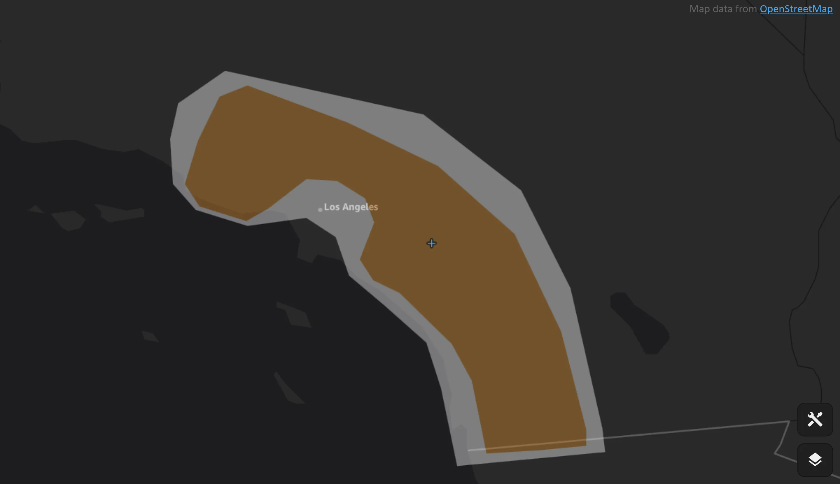
hodo.graphics displays each area, colored based on probability.
Significant Wind, Hail, and Tornado
If conditions are predicted to support it, the SPC will provide probabilities for "significant" severe weather. hodo.graphics provides these as a separate product in the interface. The Storm Prediction Center uses the following qualifiers for these areas, using the same probability definition (occurring within 25 miles of a given point):
| Significant Wind | Winds or gusts 75 mph or faster | ||
| Significant Hail | Two inch or larger diameter hail | ||
| Significant Tornado | A tornado that produced EF2 or greater damage | ||
Day 3
The Storm Prediction Center provides the same categorical product for day 3, but rolls the phenomena-specific products into just probability and significant probability. The criteria (within 25 miles of a point) remains the same, but instead of wind, hail, or tornadoes, it represents the probability of any severe weather, or significant severe weather, respectively.
Days 4 through 8
For the longer term outlooks, the categorical product is removed. Longer term forcasts have much more uncertainty, so days 4 through 8 only show the probability of severe weather in an area.
Fire Weather Outlooks
In addition to convective outlooks, the SPC provides outlooks for fire weather. These products are based on the existence of dry fuels, winds, relative humidity, and predicted dry thunderstorms.
hodo.graphics provides the wind and humidity fire weather products separately from dry thunderstorm products. The categories for wind and humidity are:
| ELEVATED | Wind 15 mph or faster, relative humidity up to 5% above regional thresholds, and temperatures at or above 45-55 degrees, depending on season, for 3 hours or more over dry fuel | ||
| CRITICAL | Sustained winds 20 mph or faster, relative humidity at or below regional thresholds, and temperatures at or above 50-60 degrees, depending on season, for 3 hours or more over dry fuel | ||
| EXTREME | Sustained winds 30 mph or faster, relative humidity at or below 2/3 regional thresholds, and temperatures at or above 60-70 degrees, depending on season, for 3 hours or more over dry fuel | ||
And the categories for thunderstorms are:
| ISODRYT | Isolated coverage of cloud-to-ground lightning strikes with rainfall accumulation at or below 0.1" over dry fuel | ||
| SCTDRYT | Scattered (40% or more) coverage of cloud-to-ground lightning strikes with rainfall accumulation at or below 0.1" over dry fuel | ||
See the SPC's product page for more information about their fire weather products, or see today's fire weather on hodo.graphics.
Making Weather Information Accessible
The Storm Prediction Center's forecasts are a vital public service, helping protect lives and property by providing advance warning of dangerous weather conditions. Thanks to the SPC making their data freely available, hodo.graphics can enhance its accessibility by providing a mobile-optimized interface for viewing their forecasts and outlooks with a simple, clean design.
Disclaimer
While we strive to provide accurate forecast data, we cannot guarantee the accuracy, completeness, or reliability of any information provided through our service. Data may be delayed, incorrect, or missing due to technical issues, source limitations, or other factors beyond our control. Users acknowledge that weather conditions can change rapidly and may differ from forecasted conditions. Our service is not a professional or official weather service and should not be used as such. For critical weather information, users should consult their national weather service or other authorized weather authorities. hodo.graphics is not intended to replace professional meteorological advice or official weather warnings.